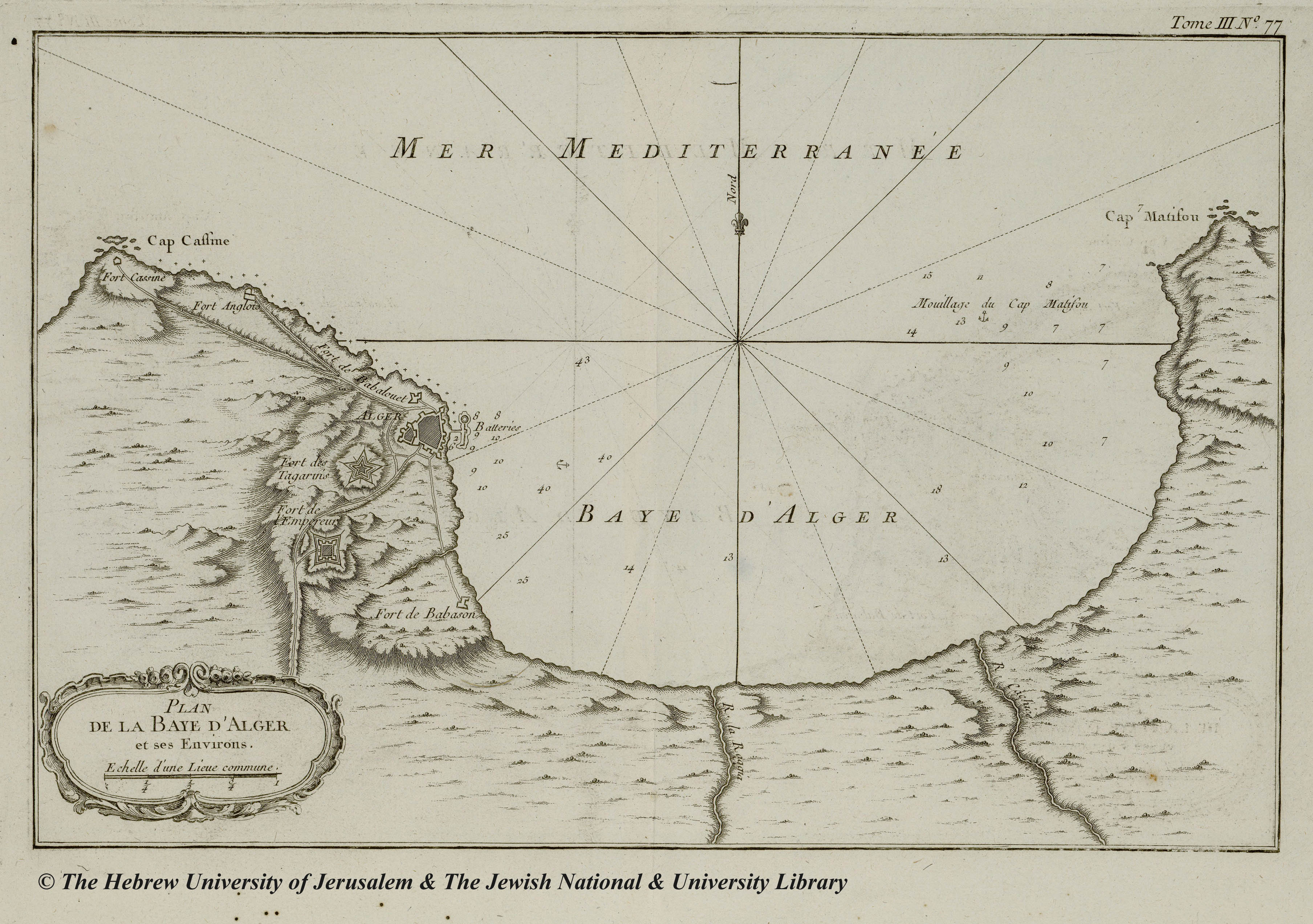
Vu : 385 fois Posté Le : 08/03/2014 Posté par : pharesdalgerie Source : http://historic-cities.huji.ac.il/
Votre commentaire
Votre commentaire s'affichera sur cette page après validation par l'administrateur. Ceci n'est en aucun cas un formulaire à l'adresse du sujet évoqué, mais juste un espace d'opinion et d'échange d'idées dans le respect.

Posté Le : 08/03/2014
Posté par : pharesdalgerie
Source : http://historic-cities.huji.ac.il/